public 2D drawings and 3D models for architecture.
As of September 2024 the .zip files are no longer available online due to increasing hosting costs. If you have a non-comercial project or are available for cost sharing, send us a message.
Nevertheless the poché (.pdf) and the cadaster Plans (.dxf) are still free for download.
What is it?
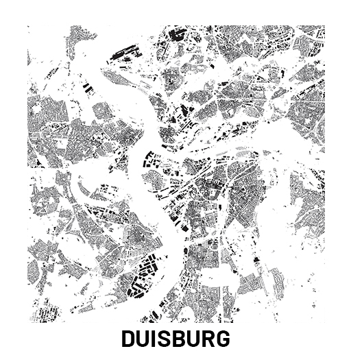
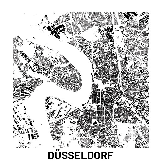
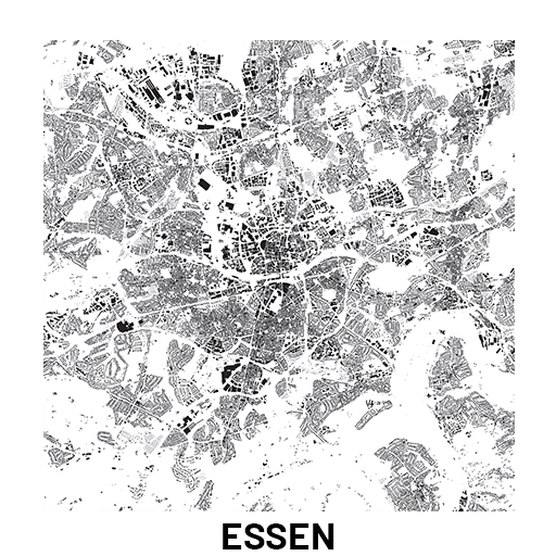
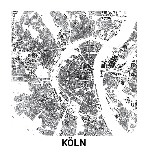
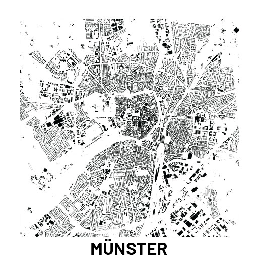
it’s a compilation of public surveying elements in Nordrhein-Westfalen.
All sources come from bezreg-koeln.nrw.de and our work is to convert, compile and distribute Geographic Information System files (GIS).
This workflow is oriented for urban projects and can be extended through the whole Bundesland.
All files are compatible with most used software programs in architecture
Archicad | Autocad | Rhinoceros | 3D Studio Max| Cinema 4D | Sketchup | and others.
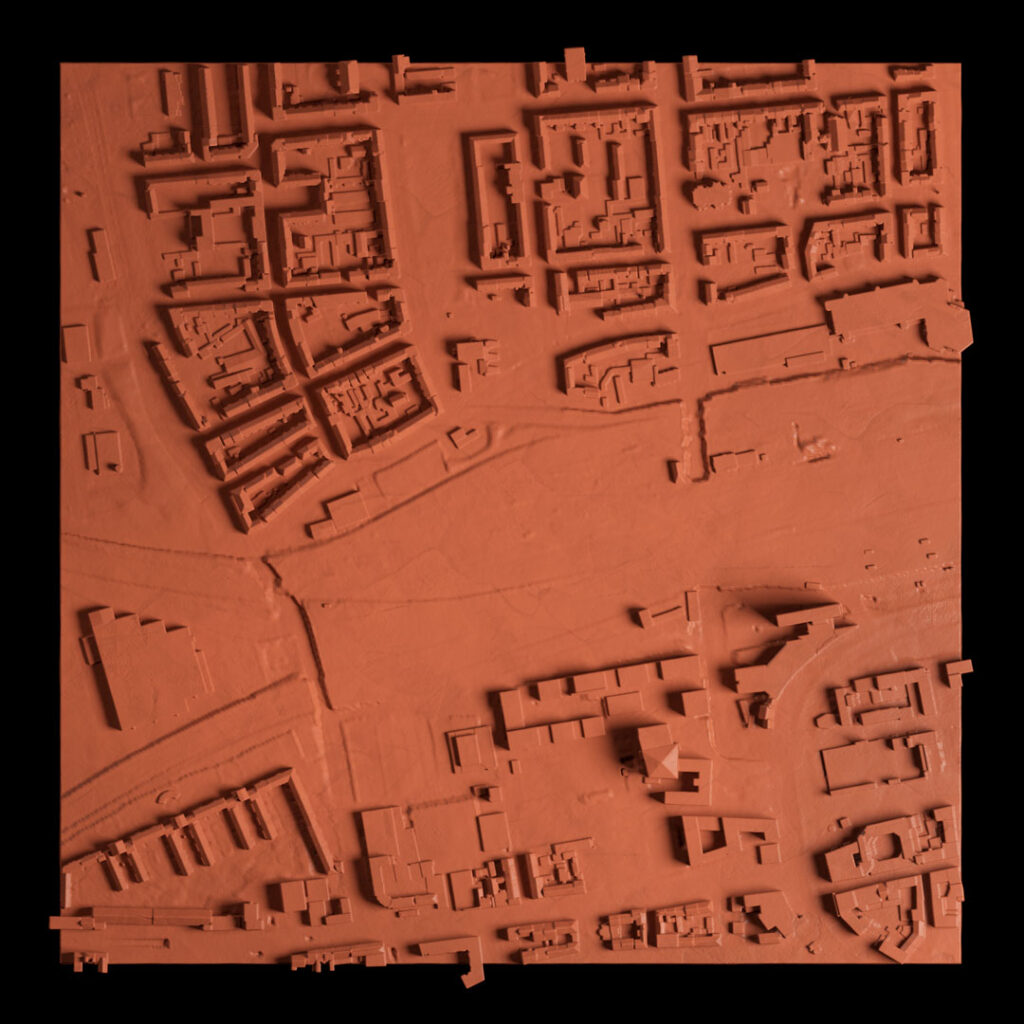
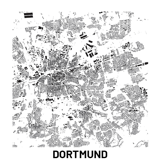
A 3D and 2D tile of Dortmund, where the “Dortmunder-U“ is.
Instructions
General
1 – Import only the necessary files in your software, with the same origin reference, scale and rotation;
2 – Erase all unnecessary information for your project;
3 – To increase performance – Place all the files simultaneously close to the origin (0,0,0);
File types
.OBJ (3 files)
LOD2 – Buildings LOD2
TLOD2 – Terrain LOD2
PTS_LOD2 – Points LOD2
.XYZ (1 file)
PTS_LOD2 – Points LOD2
TLOD2 – Terrain points for ArchiCAD
.DAE(1 file)
LOD2 – Buildings LOD2 for ArchiCAD
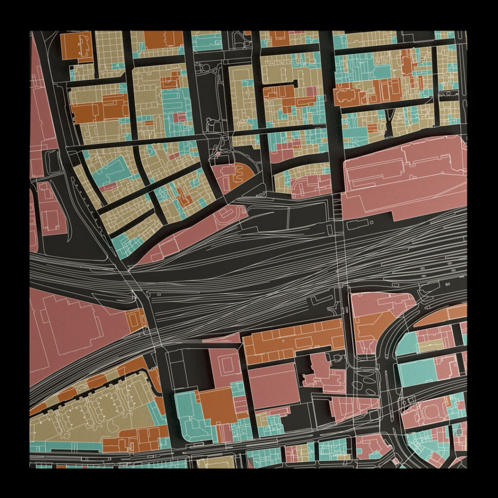
.DXF (1 file)
For each City all the available layers from ALKIS
readme
Instructions for ArchiCAD
Archicad (imports DAE; DXF; XYZ)
Buildings
File > Open > LOD2_nnn_nnnn_archi.dae
Terrain
Interoperability > Place mesh from surveyors data > (View *.xyz File Types) > TLOD2_nnn_nnnn_archi.xyz > Original Location + units meters
Point Cloud
Interoperability > Import point clouds > PTSLOD2_nnn_nnnn.xyz > Create and Place > Place at Project Origin
AutoCAD (imports OBJ; DXF; XYZ)
Simple import.
Sketchup Pro (imports OBJ; DXF)
Simple import.
Points PTS_LOD2 only in OBJ format.
Rhinoceros (imports OBJ; DXF; XYZ)
Simple import.
Blender (imports OBJ; DXF)
Simple import.
Points PTS_LOD2 only in OBJ format.
3D Studio MAX (imports OBJ; DXF)
Simple import.
Points PTS_LOD2 only in OBJ format.
Terms and conditions
This project is derivated from the following products and takes advantage of the following licences:
Open Data – Digitale Geobasisdaten NRW
https://www.bezreg-koeln.nrw.de/brk_internet/geobasis/opendata/index.html
Data licence Germany – Zero – Version 2.0
https://www.govdata.de/dl-de/zero-2-0
The product is provided as is. Any liability for the data and services provided is excluded. This is a derived product and no measurements nor confirmation of the original data were made. It is not meant as a substitute for a professional survey. Its use is the sole responsabilty of the customer.